
Tornadoes Rip Through Midwest as ‘Ring of Fire’ Pattern Reloads
Tornadoes and destructive winds strike the Midwest under a ‘ring of fire’ pattern; here’s what happened August 11, 2026 and what to watch next.
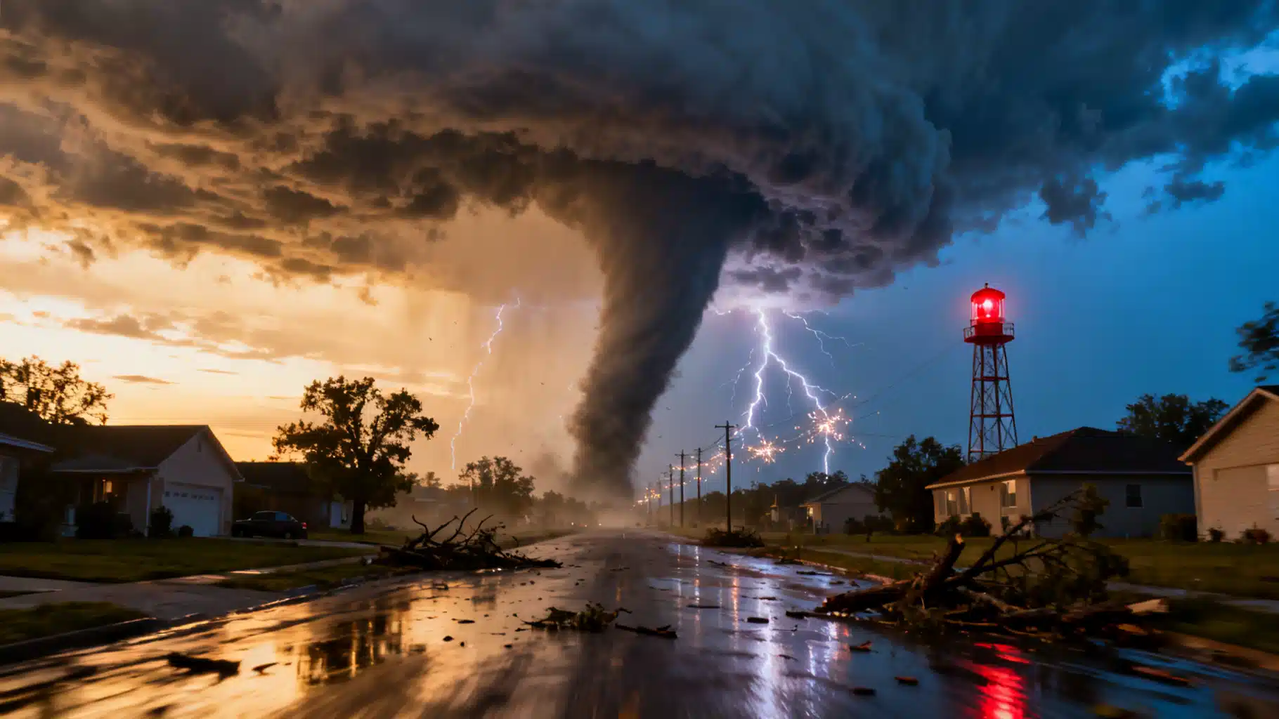
Image used for representation purposes only.
What’s happening now
Powerful thunderstorms and at least two tornadoes swept the Chicago metro and northwest Indiana on Tuesday, August 11, 2026, knocking out electricity to more than 600,000 customers in Illinois and Indiana at the height of the event. The National Weather Service reported wind gusts up to 99 mph in Gary, Indiana, while widespread tree and structural damage was observed across the south suburbs. Storm Prediction Center forecasters said the fast‑moving complex likely met the criteria for a derecho as it raced from Iowa into Indiana through the evening. Flights were briefly halted at both Chicago airports during the worst of the storms. (apnews.com )
The setup fit a familiar midsummer pattern: a ring of fire of recurrent thunderstorm complexes arcing around a persistent heat dome. In these regimes, extreme heat builds under the ridge, while the periphery—often from the Plains into the Midwest and Ohio Valley—becomes a storm highway for damaging wind events and embedded tornadoes. Local National Weather Service analyses describe how such patterns funnel multiple rounds of severe storms around the edges of the high, a scenario that has produced past derechos in northern Illinois and Indiana. (weather.gov )
How we got here this season
- June 11, 2026: A regional outbreak delivered 24 confirmed tornadoes within the NWS Chicago forecast area alone, including two rated EF‑3 (Kouts, IN, and near Streator, IL) and two EF‑2. That made it the second‑largest tornado day on record in the Chicago area after July 15, 2024. (weather.gov )
- Late July 2026: Additional brief tornadoes touched down in the south suburbs (including Orland Park and Homewood), highlighting how quickly spin‑ups can occur on volatile summer days. (nbcchicago.com )
- June 17–19, 2026: The first Atlantic storm of the season—Tropical Storm Arthur—came ashore on the Texas coast, with the National Hurricane Center warning that a few tornadoes were possible across parts of the Gulf Coast states. Damage surveys later confirmed roughly two dozen tornadoes tied to Arthur’s remnants across Louisiana, Mississippi and Alabama. Tropical systems routinely spin up short‑lived, rain‑wrapped tornadoes, especially on their eastern flanks. (nhc.noaa.gov )
Why the atmosphere is primed
- Ring of fire pattern: Thunderstorm complexes follow the northern/eastern rim of a strong summertime ridge, where wind shear and instability overlap. Meteorologists have long linked these patterns to serial derechos and nocturnal severe weather in the Midwest. (weather.com )
- Background climate signals: NOAA’s Climate Prediction Center discussions this spring pointed to a transition from La Niña toward ENSO‑neutral conditions by mid‑2026. ENSO is not a “tornado switch,” but it can subtly steer storm tracks and moisture availability that influence severe‑weather corridors. (cpc.ncep.noaa.gov )
The broader trend picture
Peer‑reviewed research indicates the United States has seen a decline in the number of tornado days per year, even as tornadoes increasingly cluster into fewer, more active outbreak days—a pattern noted by NOAA scientists a decade ago and reinforced by recent analyses. Warm‑season activity in the Southeast contributes to the “fewer days, more tornadoes” signal, underscoring how risk is not confined to the traditional Plains corridor. (inside.nssl.noaa.gov )
At the same time, mapping studies have found a relative eastward emphasis in favorable tornado environments and reports in recent decades, placing more population centers in harm’s way from the Mid‑South into the Ohio Valley. The signal varies by season and intensity, but it’s a crucial planning consideration for emergency managers and insurers. (repository.library.noaa.gov )
Impacts and early tallies
- Peak outages: Power trackers showed Illinois and Indiana collectively topping 600,000 customers without electricity at the height of the August 11 storms, with hundreds of thousands more impacted in Ohio as the complex moved east. (apnews.com )
- Wind maxima: A 99 mph gust was recorded in Gary, Indiana, indicative of widespread straight‑line wind damage that can rival lower‑end tornadoes. (apnews.com )
- Historical context: The June 11 regional outbreak’s 24 tornadoes in the NWS Chicago area, including two EF‑3s, underscores how quickly the region’s risk can escalate in ring‑of‑fire regimes. (weather.gov )
- Tropical linkage: Roughly 22 tornadoes were confirmed across LA–MS–AL with Arthur’s remnants, a reminder that summertime tornado risk also rises with landfalling tropical cyclones. (wlox.com )
What to watch over the next 24–48 hours
- Forecast evolution: The Storm Prediction Center’s convective outlooks update several times per day and will refine the corridor for any additional severe wind and tornado potential as boundaries reset behind Tuesday’s complex. Check the Day 1–3 outlooks and mesoscale discussions for localized tornado windows embedded within fast‑moving lines. (origin-west-www-spc.woc.noaa.gov )
- Flooding risk: Successive thunderstorm rounds along the ring of fire can lead to training convection and flash flooding in the Ohio Valley and lower Great Lakes, even as severe‑wind risk ebbs and flows. Monitor NWS local statements and the Weather Prediction Center’s excessive rainfall outlooks. (wpc.ncep.noaa.gov )
Rapid safety briefing
- Go now, not later: If a Tornado Warning is issued for your location, move immediately to a basement or a small, interior, windowless room on the lowest floor. Put as many walls as possible between you and the outside. Helmets and sturdy shoes meaningfully reduce injury from debris. (preview.weather.gov )
- Mobile/manufactured homes: Evacuate to a site‑built shelter or designated storm shelter when warnings are issued; mobile homes offer very limited protection from tornado winds. (dhses.ny.gov )
- Stay informed: Keep multiple alerting methods—Wireless Emergency Alerts, NOAA Weather Radio, and local TV/radio. Have a plan for power loss that includes flashlights, extra batteries, and a way to receive warnings if cell networks are strained. (osha.gov )
Bottom line
A classic summer ring‑of‑fire setup has reloaded the Midwest and Ohio Valley with volatile, high‑end thunderstorm potential. Tuesday’s August 11 event already delivered hurricane‑force gusts, tornadoes just south of Chicago, and major power disruptions, with SPC forecasters noting derecho characteristics. Another round or two of severe wind and brief tornadoes is possible as the storm highway remains active along the ridge’s perimeter. Stay weather‑aware, review your safe place, and keep multiple ways to receive warnings as the pattern persists. (apnews.com )